
Green Township ZIP Code Coverage
Green Township is a civil township in western Hamilton County, not a USPS delivery city and not the City of Green in Summit County. A CAGIS spatial check found eight county ZIP polygons that intersect the township boundary. “Intersects” is the key word. It does not mean every address in the ZIP is in Green Township, that every township address uses the ZIP, or that the post office name determines which public office keeps a record.
| ZIP Code | Mapped coverage | USPS city / post office limit | Green Township note |
|---|---|---|---|
| 45002 | Polygon intersects the township boundary. | Cleves; CAGIS does not supply a post-office or range inventory. | Verify an exact delivery address with USPS. |
| 45211 | Polygon intersects the township boundary. | Cincinnati; postal city only. | The Cincinnati label does not determine township jurisdiction. |
| 45223 | Polygon intersects the township boundary. | Cincinnati; postal city only. | Boundary intersection only; check the exact delivery address. |
| 45233 | Polygon intersects the township boundary. | Cincinnati; postal city only. | Boundary intersection only; check the exact delivery address. |
| 45238 | Polygon intersects; Station 107 is listed near Muddy Creek. | Cincinnati; no complete post-office range published in CAGIS. | A station ZIP is not a full service-area range. |
| 45239 | Polygon intersects; Northeast zoning references include this ZIP. | Cincinnati; postal city only. | The zoning directory covers only its stated district and ranges. |
| 45247 | Polygon intersects; township administration uses this mailing ZIP. | Cincinnati; postal city only. | A facility address is not a township-boundary proxy. |
| 45248 | Polygon intersects; Station 54 is listed on Bridgetown Road. | Cincinnati; postal city only. | The station address does not establish full ZIP coverage. |
The official USPS ZIP Code Lookup is the final check for a real mailing address. The countywide CAGIS ZIP-polygon layer supplies the mapping evidence behind the table, but it does not provide a complete Green Township street-range or post-office assignment list.
Green Township ZIP Code Geography
A ZIP code organizes postal delivery. It does not set a parcel boundary, municipal line, school district, election precinct, or zoning authority. The Township administration uses a Cincinnati 45247 mailing address, yet Green Township remains a Hamilton County township. For an address tied to a public record, retain the exact address string found in the source, then compare the parcel’s township field and legal description before deciding which office should answer a records question.
Open the Green Township statistics page for the township’s published local context.
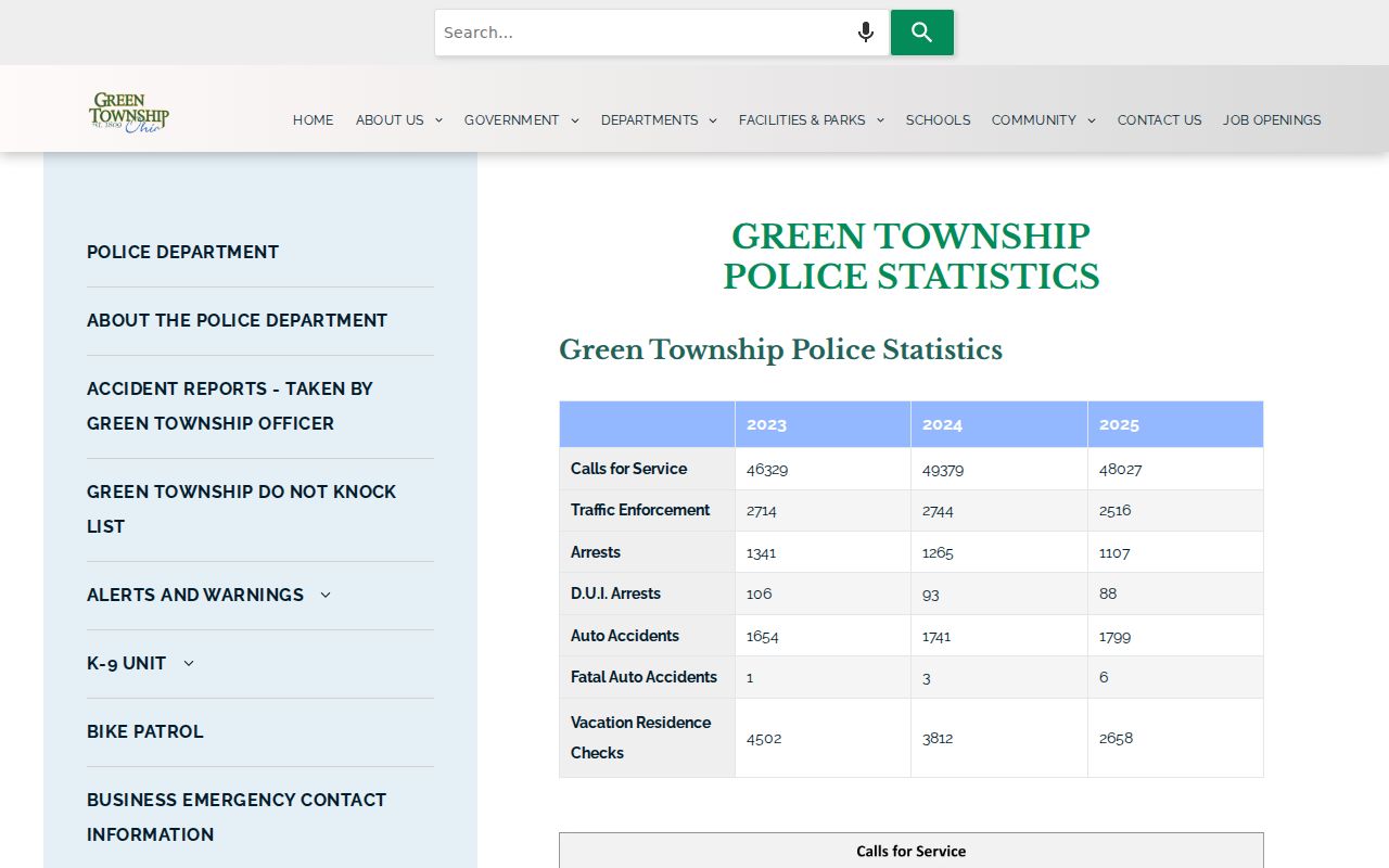
The township page is useful for recognizing the correct local government. It does not convert postal geography into a list of postal ranges or a directory of residents.
Historical labels need the same care. Green Township formed in 1809. Westwood was annexed by Cincinnati in 1896, Beech Flats became Cheviot in 1900, and part of Covedale was annexed by Cincinnati in 1930. An older record may use one of those names, a rural route, or a Cincinnati postal label while pointing to a different historic jurisdiction.
Note: The strongest location identifiers are the parcel number and legal description, not a postal-city label copied from a directory heading.
Green Township ZIP Code Tools
Only a few documented local tools accept a ZIP as an input, and none of them supports a ZIP-wide property or person search. The Northeast Green Township Zoning Street Directory accepts a street, ZIP Code, address range, or zoning class in one free-text field. It is a 127-street zoning reference for the Northeast district. It is not a parcel-owner database or an all-township directory.
| System | ZIP mechanism | Proper Green Township use |
|---|---|---|
| USPS | Street-address validation | Confirm a current delivery ZIP, not a jurisdiction or historic address equivalent. |
| CAGIS Online | ZIP polygon map layer | View broad geography, then resolve the parcel or address. |
| Northeast zoning directory | Free-text ZIP accepted | Check district street ranges, parity, zoning, and jurisdiction. |
| Hamilton County BOE | ZIP is a required address component | Confirm one named elector, subject to public-record limits. |
| Auditor Property Search | No dedicated ZIP field exposed | Use street address, parcel ID, sales, owner, or advanced criteria instead. |
The Hamilton County Auditor does not expose a dedicated ZIP filter. Its Street Address form uses House # Exact/Low, House # High, and Street Name, with the street suffix omitted as instructed. Advanced search has address, parcel, land-use, geographic, transfer, and physical-characteristic controls, but research did not identify a ZIP-only mode. That limitation matters: do not claim that a postal ZIP can filter property owners or residents.
Green Township ZIP Code Directory Check
The Northeast zoning directory helps establish whether an address belongs to the district the Township administers. Its results can show street, address range, odd or even parity, jurisdiction, and zoning reference. Several streets can show multiple jurisdictions. Use the result as a prompt to verify the specific parcel. Outside the Northeast Green Township and White Oak district, the Township directs development matters to Hamilton County Planning & Development and its ezTrak route.
Use the Township zoning street directory for a ZIP or street-range check in the stated district.
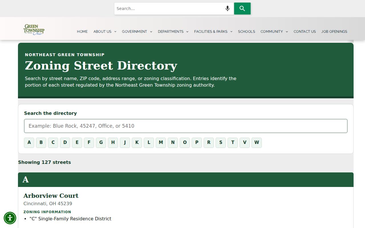
The search result helps separate postal shorthand from local zoning responsibility. It does not identify parcel ownership, permit status, or the people connected with an address.
This district split is especially important around White Oak and roads marked with multiple jurisdictions. A ZIP intersection cannot choose between the Township, county, state, or another municipal custodian.
Find Green Township Records by ZIP
Use ZIP information to confirm delivery geography, then move to the tool that can answer the actual records question. The next step is normally an exact address or a named person, not a broad request for everyone within a postal area. The process preserves the difference between postal delivery, a tax parcel, and a public record held by a defined custodian.
- Check the mailing address in the USPS lookup and save the returned formatting with the date checked.
- Locate the address in CAGIS Online using the single Address Locator, then view the ZIP, township, and parcel context.
- Use Hamilton County Auditor Property Search with the address or parcel number to record the situs address and legal description.
- For a person-specific election question, use the state or county voter confirmation route with the required name and address parts. Respect protected records and do not treat it as a ZIP browse.
Once a ZIP has narrowed a mailing address to a particular street, the Green Township street directory provides the fuller street-and-parcel workflow. It is the appropriate internal route for a known street address.
Green Township ZIP Voter Boundaries
The county voter-confirmation form uses ZIP Code with first name, last name, suffix, street number, street name, and street suffix. The statewide Ohio Voter Search uses first name, last name, and county. Both are one-elector tools, not a postal-area directory. Ohio voter records exclude protected registrations and other nonpublic fields, and a public result does not reveal ballot choices.
The state’s Ohio voter-data portal is a separate statewide resource for daily additions, updates, and removals. It does not turn protected voter information into public ZIP-level results.
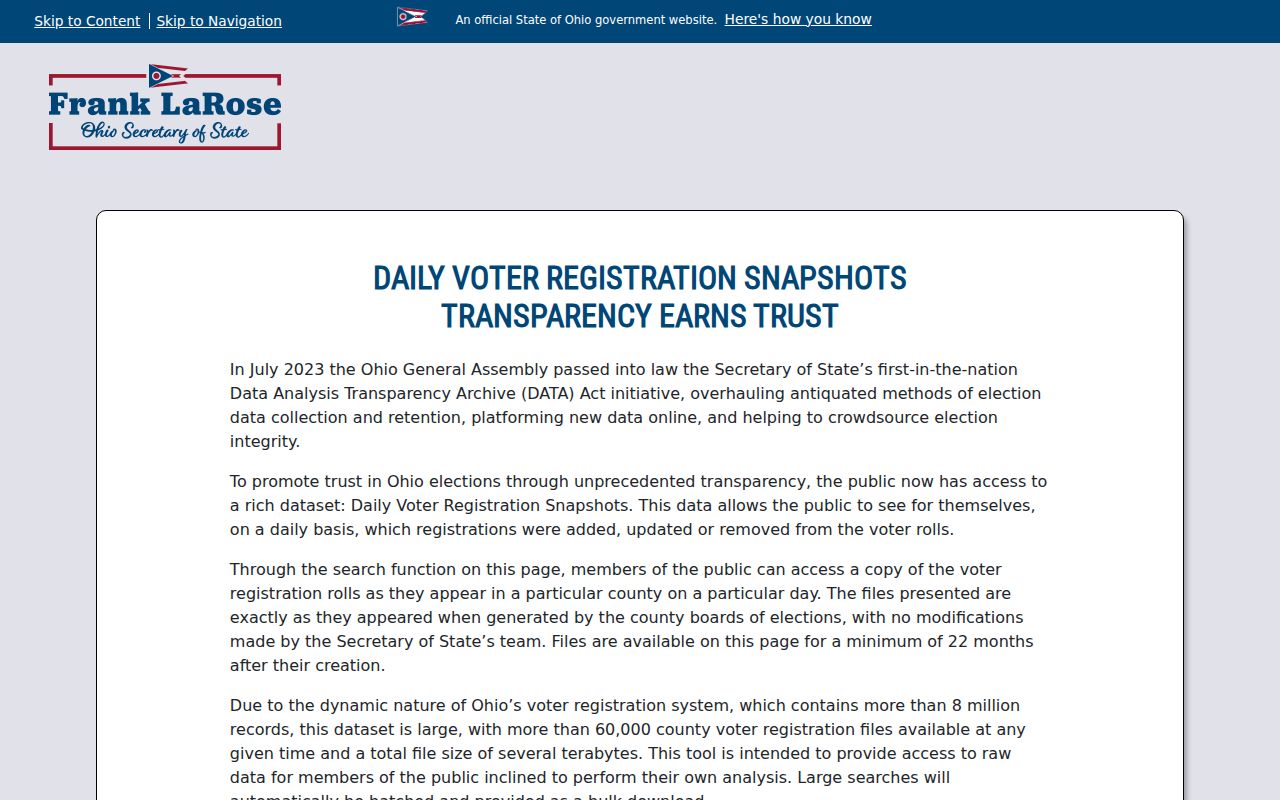
Use voter data only for the permissions and limits documented by the current official source. Postal ZIP, precinct, township, and municipal boundaries remain different geographic systems.
Green Township ZIP Code Address Check
The address-first USPS tool is the right final step for delivery. It should be used before sending a letter, filing a request, or deciding that a location has a particular ZIP Code. USPS validation does not identify an owner, select the legal municipality, or establish a historic address match. Those are separate questions for the Auditor, Recorder, map layers, and date-specific historical sources.
Use the USPS ZIP Code Lookup to validate a particular street address.
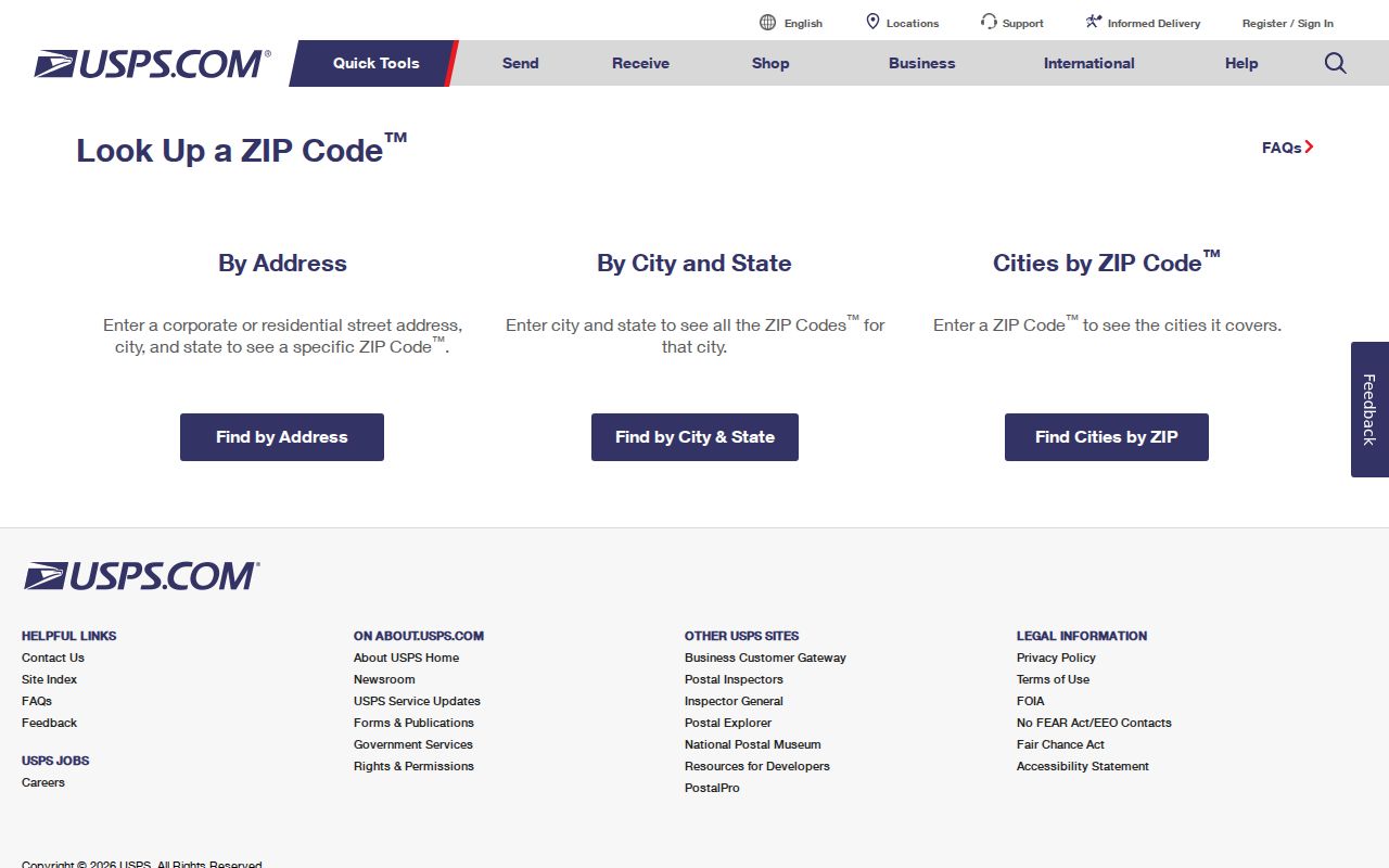
The USPS result supplies present delivery formatting. Retain the date of the result because a mailing format is not a substitute for a dated land record or a legal description.
- ZIP Code and ZIP+4
- A ZIP Code identifies a broad postal area; ZIP+4 adds a delivery-segment detail for a particular address.
- PO-box ZIP
- A postal code used for post-office boxes, which may differ from a street-delivery code.
- Unique ZIP
- A postal code assigned to a single organization or other specially served destination.
- Carrier route
- A postal delivery sequence. It is not a political boundary or a resident record.
Green Township ZIP Code Limits
A ZIP code cannot establish who lives at an address, who is connected with a parcel, or which people belong to an area. The Green Township ZIP code directory uses the documented Hamilton County sources for parcel geometry, tax and recorded-property data, zoning ranges, and person-specific election confirmation with privacy limits. They do not supply an unrestricted address-to-resident output or a complete postal-area roster.
A parcel’s situs address can also differ from a mailing address. The Auditor recognizes that USPS and parcel addressing may not match one-to-one, particularly around multi-building or condominium arrangements. Use the parcel ID and legal description as the durable bridge when a street label changes, a parcel is split, or a historic entry uses a different place name.
Postal boundary caution. Treat a Green Township ZIP code as delivery geography only. Honor protected records and do not use postal or parcel data to target, harass, or harm any person.
Note: Public sources reviewed do not provide a complete all-years crosswalk from historic township addresses to current USPS numbers or ZIPs.