
Green Township Neighbors: Block Sources
A careful Green Township neighbor search begins by deciding what can actually be known. CAGIS and the Auditor can identify mapped parcels around an address. The property record can show a current tax-record owner, mailing field, situs address, legal description, transfer information, and parcel status. Recorded deeds can add a dated property layer. A voter confirmation is for a named elector, not a public address browser. Community organizations can provide a local contact route, but the research found no official public membership or household directory. Each source is useful within that boundary.
| Block source | What it can show | Access and limit |
|---|---|---|
| CAGIS parcel boundaries | Mapped parcels, local geography, nearby-boundary context | Public map; proximity is not a household or ownership conclusion. |
| Auditor property card | Parcel, situs, legal description, owner or mailing fields, transfer context | Public no-login search; a tax record is not a resident roster. |
| Recorder Acclaim | Recorded deeds, plats, easements, liens, and dated party roles | Public document inquiry; document parties are not all occupants. |
| State or county election route | A named elector's registration or precinct details where available | One-person confirmation and protected-record exclusions apply. |
| Community contacts and library sources | Historic neighborhood context or an organizational contact | No verified public Green Township membership roster. |
Ownership and occupancy are different facts. A parcel owner can have a separate mailing address, and a mailing address can be unrelated to the physical property. Renters, household members, protected voters, utility accounts, and delivery information do not become public simply because a parcel appears beside another one on a map. That is why the record trail should stay focused on a defined address question.
Map a Green Township Block First
Start with the Hamilton County Auditor Property Search and use its Street Address fields: House # Exact/Low, House # High, and Street Name. Enter the street name without its suffix. An exact number is preferred. If a range is needed, make it narrow, then inspect each candidate parcel. Save the parcel ID, situs address, legal description, current transfer, tax district, and current or prior transfer details. The Auditor notes that an old January 1 transfer date can be a filler date, so an apparent date should be checked against the underlying record.
- Locate the target address in the Auditor search and identify its parcel rather than starting with a broad person-name query.
- Open CAGIS Online, use the CAGIS Address Locator, and select the target parcel on the map.
- Check the boundary and frontage. Use NearMe at the smallest useful buffer to identify geographic candidates, then label them as nearby parcels, not people.
- Open each candidate's county parcel card separately. Compare the number, street, legal description, tax district, and current or deleted-parcel flags.
- Use Acclaim parcel or legal-description searches only when a recorded document is needed. For a complete named-street chain, use the Green Township street directory.
This process keeps the immediate Green Township block distinct from a whole street. A 200 to 1,500 foot map buffer can include parcels that are nearby but not on the same frontage, so notes should preserve the target parcel, the selected date, and the reason a nearby parcel was reviewed.
CAGIS Context for Green Township Neighbors
CAGIS is a public geographic tool, not a neighbor directory. Its Property Boundaries table can show 25, 50, 100, or 1,000 rows and filter to the current map extent. Its public parcel layer includes parcel and property identifiers, legal-description fields, owner and mailing categories, situs number and street, tax geography, prior-owner fields, sale and deed fields, values, and status flags. A field existing in a parcel layer does not mean it is present for every parcel, current on the day viewed, or proof of personal residence.
The CAGIS configuration exposes NearMe for the parcel-boundary and political-jurisdiction layers. It has a 200-foot default and a 200 to 1,500 foot range. That is a sound way to create a geographic candidate set around a Green Township address. It cannot show a membership roster, a complete block roster, a private household, or a shared association. The map's own data are supplied as-is, so material parcel and ownership conclusions should be checked with the Auditor and Recorder.
Use the Recorder's Acclaim legal-description paths to test a possible shared plat or lot relationship. A common subdivision, ZIP code, tax district, or buffer result alone does not establish a common neighborhood organization or a personal connection.
Green Township Voter Boundaries
The Ohio Voter Toolkit is a one-person registration and precinct lookup. Use it for a named elector and a narrow verification question, then contact the Hamilton County Board of Elections for a correction, an unreturned record, or a lawful records request. Ohio voters do not register by party, and the record does not reveal ballot choices. It is not an unrestricted online address search for Green Township neighbors.
Ohio law also withholds Social Security, identification, telephone and email data, Safe at Home records, protected-worker addresses, citizenship proof, and other protected material from voter access. A valid registration result is dated evidence from the election custodian. It does not resolve who is in a household today, and protected voters must not be reidentified by combining partial results with parcel data.
Note: A voter confirmation can support a defined registration question, but it should never be turned into an address-by-address contact list.
Green Township Community Contacts
Community names are useful for history and local context, not for assigning membership to an address. The research verified a Green Township Community Association contact page and a historical record of the Monfort Heights/White Oak Civic Association. It did not locate a current official township-published inventory of neighborhood, civic, condominium, or homeowners associations. It also did not locate a public Green Township association membership directory. Contact a group directly if a real community question calls for it, but do not infer that a household belongs to a group from a parcel or street name.
Green Township Community Association
Its contact page identifies a community organization, a third-Wednesday meeting at Nathaniel Greene Lodge, and contact channels. No membership or address directory was published on the inspected page.
Contact the associationMonfort Heights/White Oak Civic Association
A 2014 township meeting minute documents Trustee cooperation with the association and Kiwanis. That confirms historical organizational presence, not a current roster or boundary.
Read the meeting recordSee the Green Township Community Association contact page used as a local contact source.
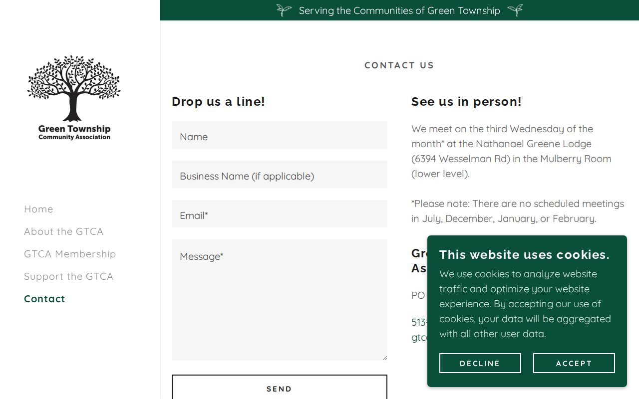
The public contact information creates a route for a community inquiry, while the absence of a published roster remains an important privacy limit.
Green Township Record Requests
When no public index answers a defined neighborhood question, ask the custodian for one identifiable record. The Green Township Police record-request route accepts a focused crash or criminal-report request at the counter or by email. The request should identify the involved or reporting name, occurrence date, location, and report type. A single report has no charge, while larger requests need prepayment. Such a report can link an event to a place and date. It is not a method for discovering current Green Township neighbors.
See the Township Police request screen before asking for a specific report.
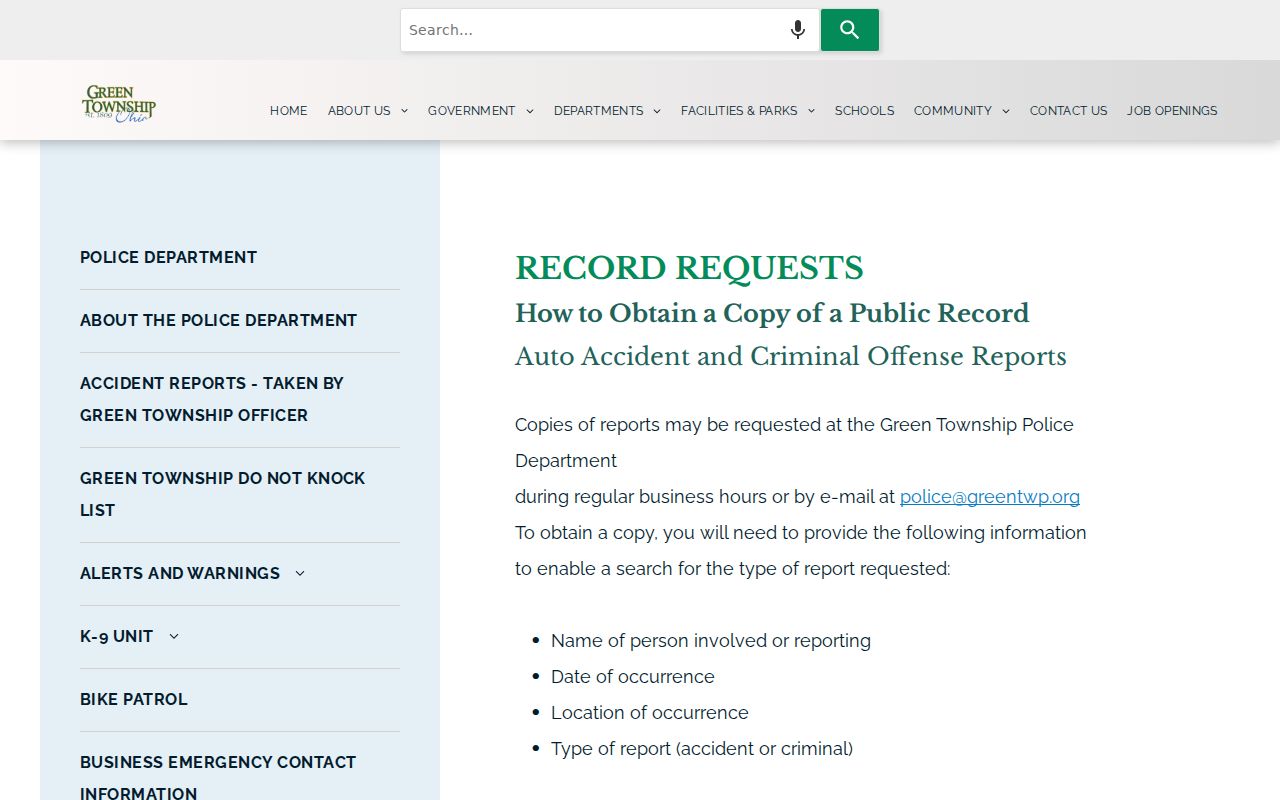
Police report access remains subject to protected information and investigative-record limits, so give the office the narrowest practical location and date.
For a Sheriff-held document, use the Hamilton County Sheriff public-records request page and describe the record, relevant date, and location. The researched Sheriff route is a records-access path, not a substitute for a block roster.
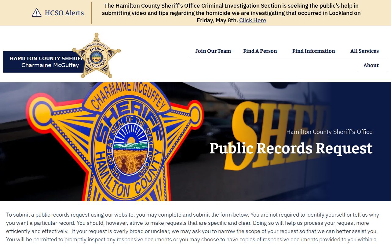
A specific request lets the Sheriff evaluate the actual record and applicable exemptions instead of asking an office to construct a new neighbor list.
The Sheriff inmate-search route shown below is not a Green Township neighbor tool. The research did not verify a standalone Sheriff-operated public roster that can responsibly be treated as a block resource; use a defined record request or Sheriff contact for the record actually needed.
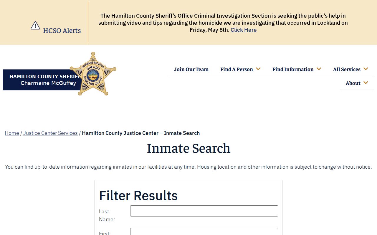
An official web screen does not change the need to verify scope, record date, and the correct custodian before relying on a result.
Compare Green Township Neighbor Tools
Official records are best used for the narrow function their custodian provides. A county parcel map can establish map context. A tax or Recorder record can establish a dated parcel or document fact. A community contact page can point to an organization. Commercial neighbor-lookup products may combine older public and private information, but their data quality, update cycle, and suppression process are separate from the public office record. They should not replace the custodian when a fact needs verification.
| Source type | Strength | Limit for a block question |
|---|---|---|
| Official parcel and recorded-property sources | Identifiable custodian, parcel or document fields, and a date trail | Narrow records do not create a complete household or membership list. |
| Community contacts | Local organizational context and a direct inquiry route | No verified public Green Township membership roster. |
| Commercial neighbor-lookup category | May present a broad lead for the person reviewing their own information | Accuracy, date, provenance, and privacy practices require independent checking. |
The Ohio Attorney General public-records guidance explains the state access framework for public offices. It does not convert private or protected information into an address directory.
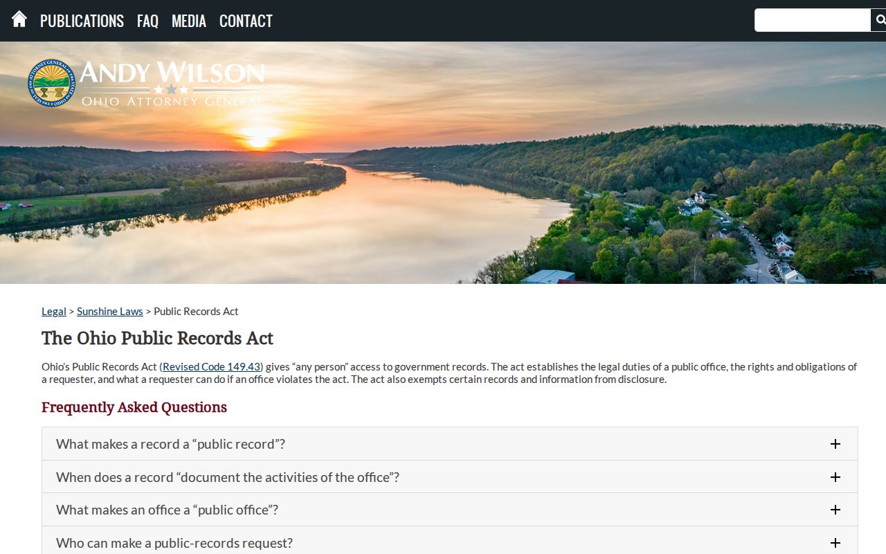
Use a focused request when the official record is the answer, and correct an error with the office that holds the source record.
Green Township Neighbor Privacy Limits
Neighbor research stops where protected information begins. Ohio's Safe at Home program uses a substitute address for eligible participants and changes how address information is handled by public offices and elections. Protected voters, sealed or expunged court matters, motor-vehicle data, utility accounts, delivery data, and private household details are not material for a parcel-based block search. A record may also contain redactions. Do not use an older address, a map boundary, or a public trace to try to reconstruct information an office has protected.
Ohio's internet-redaction statute, R.C. 149.45, provides a written route for qualifying personal information in internet records. It does not remove nonexempt information from an original record or erase third-party copies. Eligible people should use the relevant official process, including Ohio Safe at Home, rather than sending a street address through a general online search.
Ohio's menacing-by-stalking and telecommunications-harassment laws apply to conduct, including certain electronic communications. If a result suggests a safety risk or confidentiality issue, stop searching, preserve only what is necessary for a report, and use the appropriate official channel.