
Trace a Green Township Street
A street search in Green Township is strongest when it moves from an exact address to the parcel behind it. The county tax record can identify a current parcel, its situs address, legal description, transfer context, and tax-record owner or mailing information. That is not the same thing as a complete household list. The next records answer separate questions: CAGIS supplies geographic context, the Recorder supplies recorded instruments, and a dated library directory can supply a historic address lead. Green Township streets can also cross different zoning or road jurisdictions, so a matching postal city alone is not enough to select an office.
- Enter the number and base street name in the Hamilton County Auditor address search. Use an exact number first, or a narrow low and high range only when the number is uncertain.
- Open the selected parcel and save its parcel ID, situs address, legal description, transfer details, and current-date context.
- Use CAGIS to check the property boundary, nearby parcels, map layers, and the township or municipal setting around that Green Township street address.
- Carry the parcel key or legal description to the Recorder's Acclaim index. Read the recorded image and document type before drawing a conclusion from a party name.
- For a dated household lead, compare an applicable Pink Pages or Criss-Cross directory entry with the volume year, map, and other records.
The Ohio voter tools are a separate, one-person registration and precinct route. They are not a by-street browser and do not reveal ballot choices. A person-specific result may help confirm a narrow, lawful question, subject to protected-record exclusions, but it should not be expanded into a list for a whole Green Township street.
Search Fields for Green Township Streets
The Hamilton County Auditor Property Search is the practical first stop for a Green Township address. Its Street Address form uses House # Exact/Low, House # High, and Street Name. The form tells searchers to omit the street suffix. A number in the exact or low field without a high number targets one address. A bounded range identifies candidate parcels along a segment, but the result is still a parcel inventory, not proof of who lives at every number. Most parcel numbers have 13 characters, and retaining the full key makes the later Recorder search more reliable.
| Auditor search | Observed fields | Use on a Green Township street |
|---|---|---|
| Street Address | House # Exact/Low, House # High, Street Name | Find one parcel or a limited street segment. |
| Parcel ID | Parcel Number | Confirm the selected property with the system key. |
| Owner | Owner/Organization/Other Name | Locate tax-record ownership, not every occupant. |
| Advanced | Address, owner, book/page, transfer, value, land-use and geographic fields | Bound a research task carefully; results stop at the first 1,000. |
The Auditor's FAQ places older transfer details on the Transfer tab and cautions that a January 1 date can be a filler date. It also recognizes that a postal address can differ from the taxable parcel in multi-building or condominium settings. Use the nearby-range and aerial-parcel method when that happens. The parcel card is a current working tax record, so a material title question still needs the recorded instrument.
See the Hamilton County Auditor screen used for Green Township street directory research.
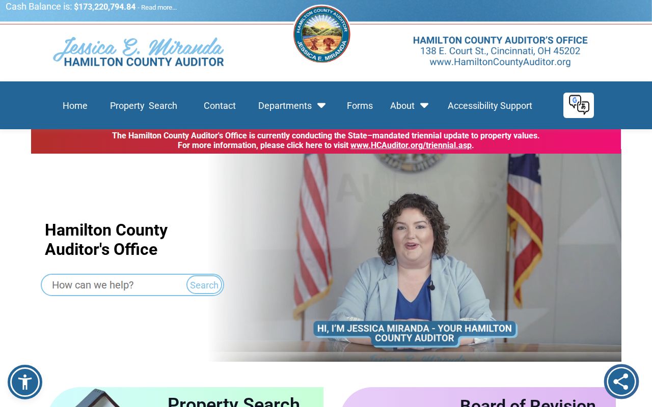
Its distinct address, owner, and parcel routes show why a single broad name result should not stand in for an address-led search.
CAGIS Maps for Green Township Streets
CAGIS Online adds the map step. Enter the address in its CAGIS Address Locator, choose the parcel, then use Property Report or the Auditor connection to test the result. The public Property Boundaries table can display 25, 50, 100, or 1,000 rows and can be filtered to the current map extent. Its parcel layer carries identifiers, situs and mailing fields, legal-description lines, tax geography, transfer information, sale and deed fields, and status indicators. Those are parcel-data categories, not a Green Township street roster.
For a short street segment, map results are most useful as a way to distinguish the target parcel from nearby property. The configured NearMe tool works with parcel boundaries and political-jurisdiction layers. It defaults to 200 feet and permits a 200 to 1,500 foot buffer. Record proximity as geography, then open candidate parcels one by one. A shared ZIP, tax district, or map buffer does not establish common ownership, a shared subdivision, or a common household.
Open the CAGIS parcel viewer for the map portion of a Green Township street directory search.
The map provides a useful boundary check before the tax card and recorded documents are compared.
Green Township Street Deed Trail
Once the parcel is established, use the Recorder's Acclaim Auditor # search to connect the Green Township street record with documents. Acclaim also offers name, record-date, date-range and document-type, book/page, document-number, subdivision/lot, section/town/range, subdivision-name, and certificate-number paths. A deed documents a recorded transaction. It can identify the parties, date, instrument, and legal description, but it does not establish every person who occupied the property.
The Recorder's guide directs searchers to collect the owner, transfer date, and legal description from the Auditor before looking for an instrument. For most records from 1988 forward, a name search is usually sufficient. Earlier work often needs the book and page. The historic grantor and grantee indexes cover 1914 through 1988, and a digitized historic image may sit one or two pages away from its expected page counter. Confirm the party role, document type, and parcel description before treating a result as part of the same street history.
Review the Recorder parcel-search screen before carrying a Green Township parcel number into Acclaim.
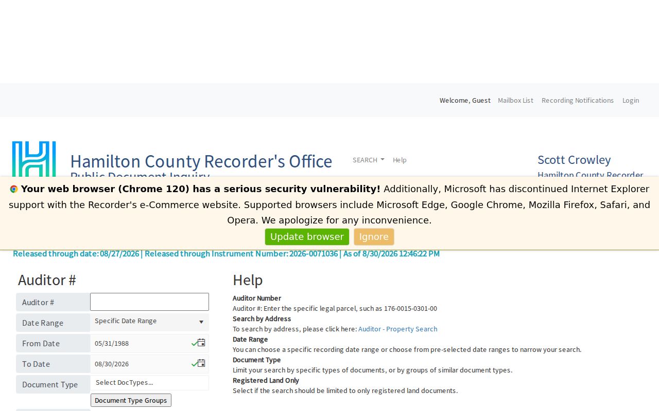
The parcel route narrows a document search without claiming that the current tax owner and every past document party are residents of the address.
For the office's current service and its historic-search routes, use the Hamilton County Recorder.
Online recorded documents are generally free, while the Recorder's published copy policy lists self-service and staff-copy charges for copies requested from the office.
Green Township Street Directory Sources
Records keyed to a Green Township street have different custodians and different proof value. The county parcel card and map answer the location question. Acclaim adds a dated, recorded-property layer. The Northeast zoning directory supplies a present jurisdiction and range check for its district. The election route is deliberately person-specific, while historical reverse directories can offer an older address lead. Keeping those roles separate avoids turning an ownership or mailing field into a claim about a household.
| Address record | Custodian | What it can establish | Access path |
|---|---|---|---|
| Property and transfer card | Hamilton County Auditor | Parcel, situs, legal description, tax-record owner or mailing fields | Public no-login property search; phone support is listed at 513-946-4000. |
| Parcel-boundary map | CAGIS | Mapped parcel context, nearby parcels, political and ZIP layers | Public interactive map, supplied as-is and checked against county records. |
| Recorded instruments | Hamilton County Recorder | Deeds, plats, mortgages, releases, easements and recorded party roles | Acclaim online, historic book/page route, or Recorder counter copies. |
| Registration record | Ohio Secretary of State and Hamilton County BOE | A named elector's registration or precinct information where law permits | One-person lookup or a focused public-record route, with exclusions. |
| Historic address volumes | CHPL | Dated address and household leads where the selected volume covers the place | Library research resources, including in-person collections. |
For a current record that is not posted, Ohio's Public Records Act lets a requester ask the actual public office for a defined record. Identify the address, date range, record type, and likely department. Inspection ordinarily has no charge, while an office may charge its actual copying cost. That request route does not require an office to create a new street list or release protected material.
Green Township Street Jurisdiction
The Northeast Green Township Zoning Street Directory is a useful local check, not an ownership index. Its single search field accepts a street, ZIP code, address range, or zoning classification. The public reference covers 127 streets and can show a mailing city and ZIP, a range or odd/even side, zoning designation, and notes such as Private Drive or Multiple Jurisdictions. It does not show owner names, residents, permits, or a historic case file.
This distinction matters most in the White Oak area, where Northeast Green Township zoning is township-managed. The remainder of Green Township is directed to Hamilton County Planning and Development. Before seeking an address-based zoning or development record, first establish the exact parcel and jurisdiction. A Cincinnati mailing address does not change the Green Township or county records path, and a street can have different jurisdictions on different ranges.
Check the county's ezTrak Citizen Access route only after confirming that the address falls outside the Northeast district.
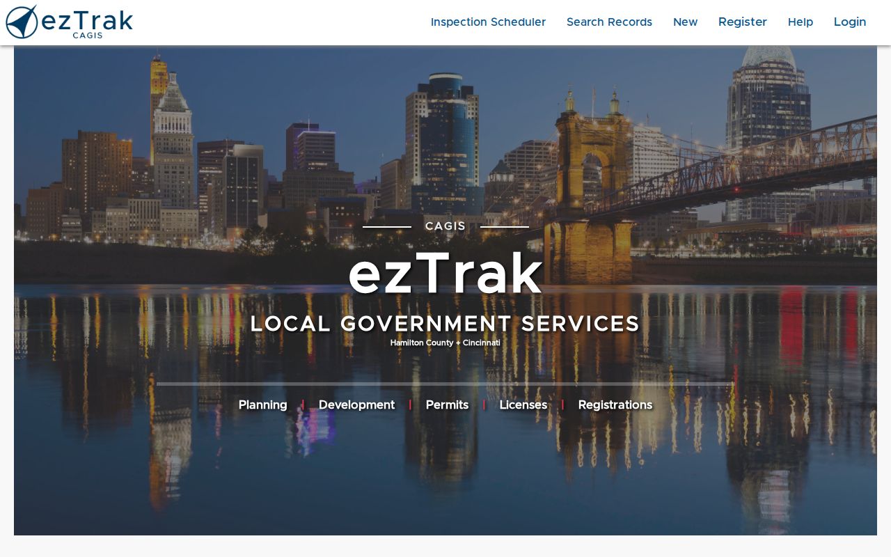
The research did not verify a stable public field or historic-coverage inventory for ezTrak, so a missing web result should not be treated as proof that no permit record exists.
Green Township Roadwork Records
A right-of-way or development record can help date a curb, driveway, or street opening near a Green Township address. It is not a resident record. The township separates township-maintained roads from county and state routes, and its own permit applies only to qualifying township roads. The published route describes a $50 permit for that work, a no-charge utility permit option, inspections, and advance notice requirements. Determine the road owner before sending an address request to the wrong office.
Open the Green Township right-of-way permit page for the local road-maintenance boundary and request route.
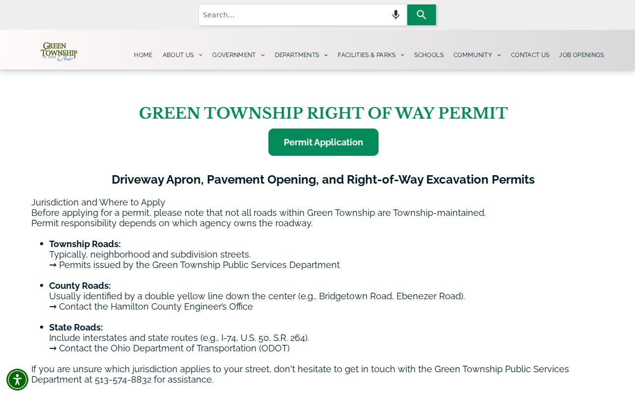
The page supports a focused address and date request, but it does not provide an address-searchable history for every Green Township street.
Note: A permit or roadwork file can date a physical change, but it does not by itself identify the people who lived nearby.
Historic Green Township Street Names
Older street and community labels need their own search terms. Green Township formed in 1809, Westwood was annexed by Cincinnati in 1896, Beech Flats became Cheviot in 1900, and parts of Covedale later changed municipal context. An older document may therefore say Cincinnati, Westwood, Cheviot, Covedale, or Green Township without pointing to the same present jurisdiction. Preserve the exact period label, street wording, parcel description, and date instead of silently updating the address.
Historic community names can also revive a dead end. Search Bridgetown, Dent or Challensville, Mack or its earlier Dry Ridge and Ebenezer labels, Monfort Heights or Weisenbrugh/Wisenburg, and White Oak when a current Green Township street search fails. The legal description remains the durable bridge when a road label changes, a parcel is split or combined, or a deed is described by subdivision lot or section-town-range rather than a house number.
Green Township Street Directory History
For an older address, the Cincinnati and Hamilton County Public Library's House History path pairs deeds with directories, census, maps, and newspapers. Pink Pages began in 1925 and Criss-Cross directories in 1941. A reverse-directory result is a date-stamped lead, not a timeless household fact. Cite the volume year, entry or image, and address form, then compare it with the mapped jurisdiction and a parcel or Recorder record.
- Parcel
- A tax and mapping unit used to connect a property location with county records.
- Situs address
- The physical property address shown on the tax record, which can differ from a mailing address.
- Plat
- A recorded map that lays out lots, streets, and subdivisions.
- Criss-Cross directory
- A reverse address directory that can turn a historic street address into a dated household lead.
The Green Township Branch has genealogy materials and a Findmypast computer, while CHPL's genealogy staff can help with collections that need library access. For the current, parcel-led record chain on a whole named street, retain the Auditor, CAGIS, and Recorder sequence rather than relying on a historical volume alone.
Green Township Street Directory Limits
A Green Township street directory cannot show everyone who lives at an address. A tax parcel can name an owner or tax-mail recipient, while a deed names transaction parties. Neither proves a renter, a household member, a visitor, or a current physical location. Motor-vehicle information is separately limited, and utility, delivery, and protected-address data are not a public street list. Safe at Home participants and other protected voters must not be reidentified from older records or combined searches.
A person-specific registration check belongs with the Ohio Voter Toolkit and the applicable legal exclusions, not a broad address search. When a record signals confidentiality, stop and contact the custodian about the correct process.